
Esri DataSync (Publishing)
Publish your GOGov request and case data to Esri ArcGIS so your team can see service activity right on your maps and dashboards.
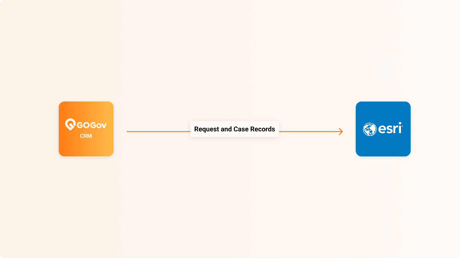
What is Esri DataSync?
Esri ArcGIS is the leading mapping platform for government. With DataSync publishing, your GOGov Citizen Requests and Code Enforcement records flow into ArcGIS, where you can map and analyze them alongside your other geographic data.
Use Cases
Common ways agencies put this integration to work:
- Map open requests and code cases on your ArcGIS dashboards.
- Analyze service activity geographically alongside your other GIS layers.
- Share a live operational map with departments and leadership.
Capabilities
What the integration does:
- One-way publishing of Citizen Requests and Code Enforcement records into Esri ArcGIS.
- Sends location, status, and case details for mapping.
- Keeps published data updated as records change in GOGov.
Benefits
What your agency gains:
- See service delivery on the map, in real time.
- Spot trends and hot spots across your jurisdiction.
- Use the ArcGIS dashboards and tools your team already has.
- Support data-driven planning and reporting.
Join Hundreds of Communities Around the Country
Who are building better communities by connecting citizens and government