
Esri GIS
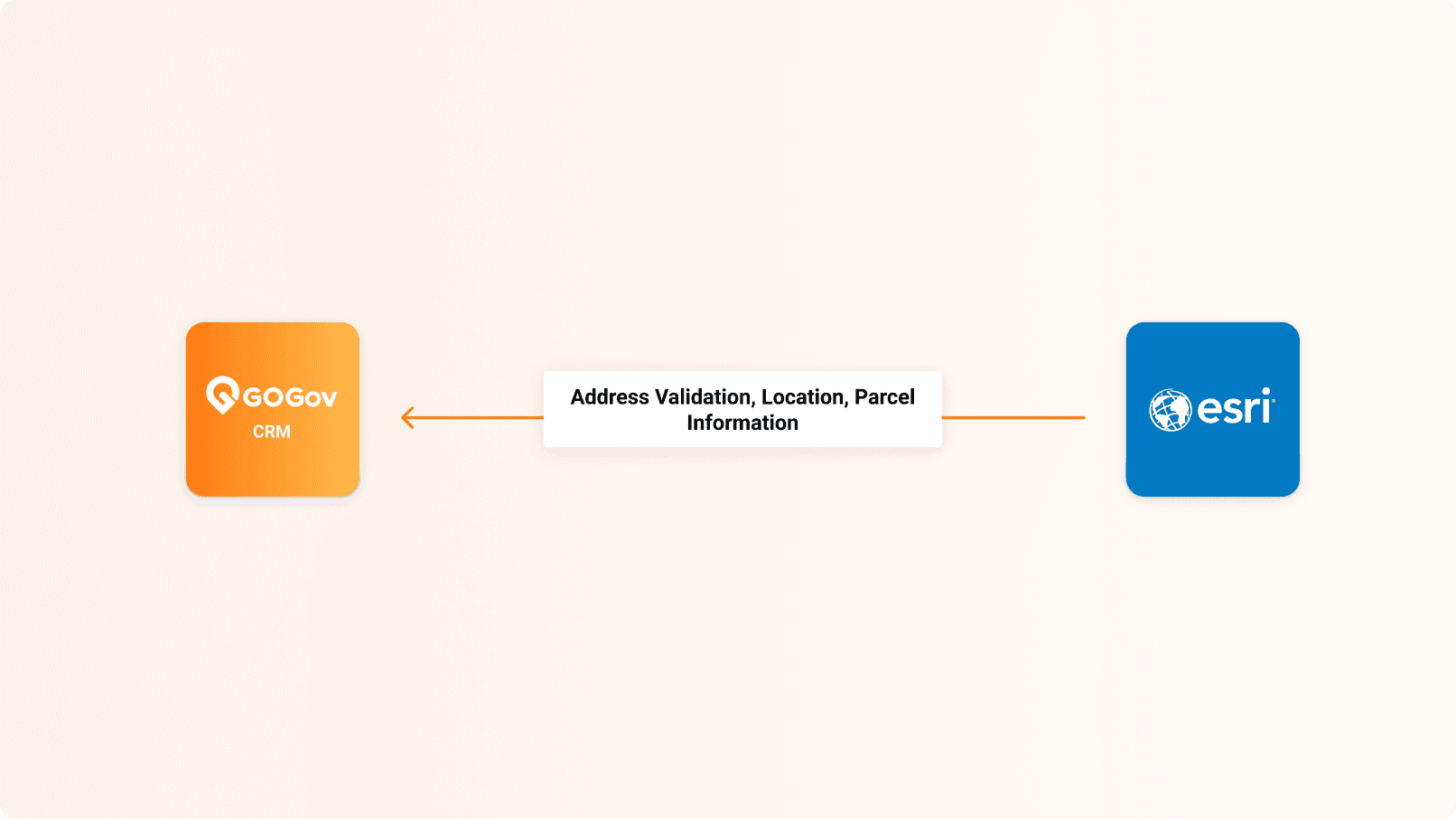
Bring your Esri parcel and map data into GOGov for address validation, map overlays, and advanced geo-lookup.
What is Esri GIS?
Esri ArcGIS is the leading mapping platform for government. This integration pulls your authoritative parcel and map data into GOGov, so staff can validate addresses, view map overlays, and look up location details without leaving GOGov.
Use Cases
Common ways agencies put this integration to work:
- Validate reported addresses against your authoritative Esri data.
- Look up parcel and location details right inside GOGov.
- View Esri map overlays alongside a request or case.
Capabilities
What the integration does:
- Syncs Esri parcel and map data into GOGov.
- Powers address validation, map overlays, and advanced geo-lookup.
- Displays your Esri maps directly in the GOGov interface.
Benefits
What your agency gains:
- Start every request and case with accurate, validated locations.
- Work from one screen instead of toggling between systems.
- Use the authoritative GIS data your agency already maintains.
- Speed up case research and routing with map context.
Join Hundreds of Communities Around the Country
Who are building better communities by connecting citizens and government