
Noble GeoViewer
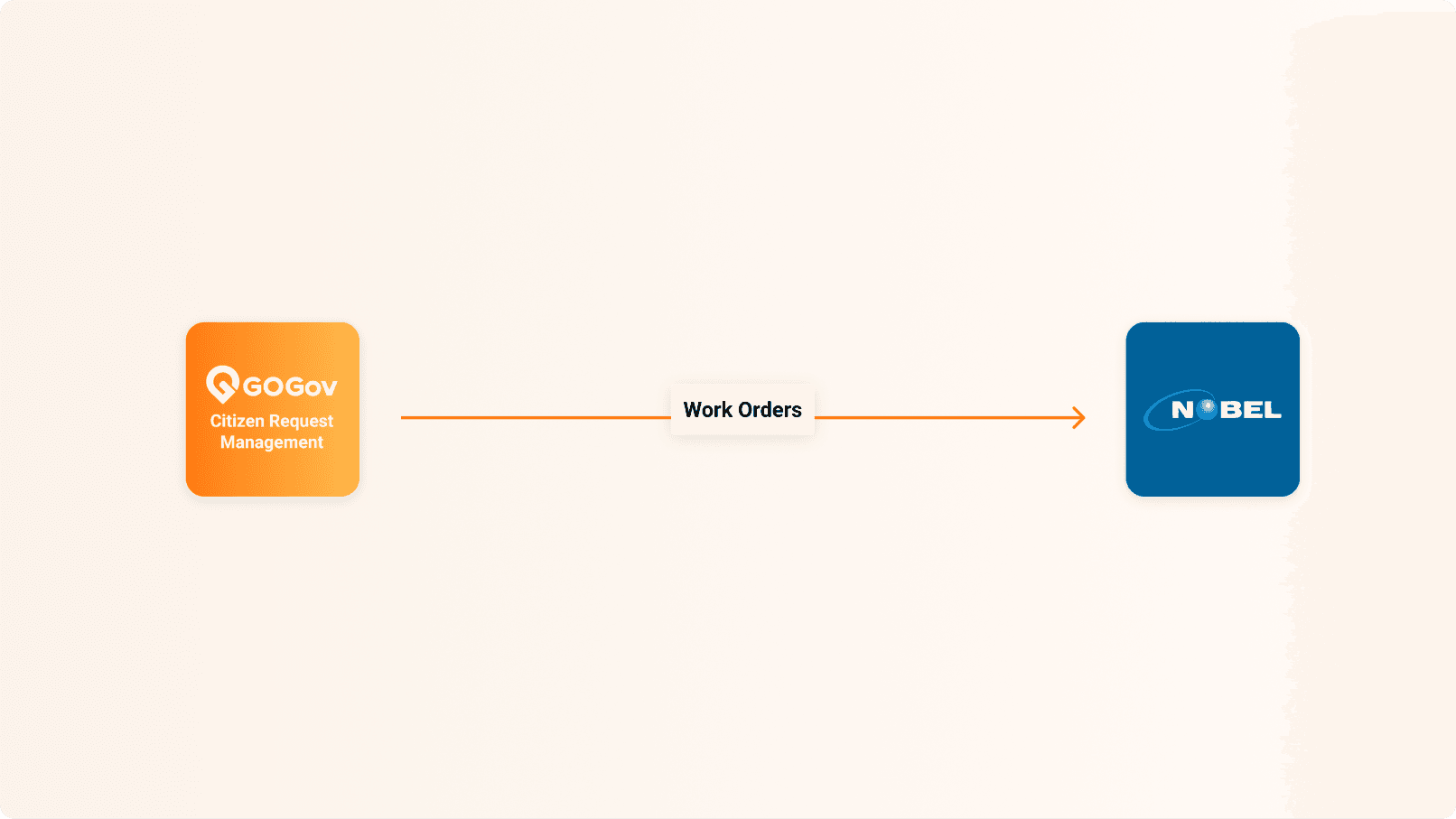
Display your GOGov work orders on a map in Noble GeoViewer for an at-a-glance view of activity across your jurisdiction.
What is Noble GeoViewer?
Noble GeoViewer is a map-based viewer that plots your work orders geographically, so staff can see where work is happening across the community.
Use Cases
Common ways agencies put this integration to work:
- See all your work orders on a single map view.
- Spot clusters of activity or problem areas across neighborhoods.
- Give staff and leadership a quick geographic picture of operations.
Capabilities
What the integration does:
- One-way display of GOGov work orders in Noble GeoViewer.
- Plots work orders by location on an interactive map.
- Keeps the map updated as work orders change in GOGov.
Benefits
What your agency gains:
- Understand work at a glance with a map-first view.
- Identify patterns and hot spots across your jurisdiction.
- Support better planning and resource decisions.
- Keep teams aligned on where work is happening.
Join Hundreds of Communities Around the Country
Who are building better communities by connecting citizens and government